Why visit ACE ’25?

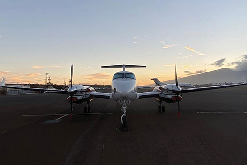
Woolpert, an architecture, engineering, geospatial and strategic consulting firm headquartered in Dayton, Ohio, has purchased its first Beechcraft King Air 300 turboprop to bolster and extend its geospatial surveying, international mapping and maritime surveillance capabilities. The aircraft is capable of 300 kts and is certified to carry topographic and bathymetric lidar sensors, framing cameras and push-broom imaging sensors owned by Woolpert and its government clients.
Woolpert geospatial programme director Mark Smits said the aircraft can reach an altitude of 35,000 ft and has been customised to have an effective range of 2,100 nm to support the firm's diverse range of mission requirements. The aircraft can be operated either pressurised or unpressurised, has over-the-horizon radio capability and is equipped for satellite communications. “The King Air 300 is world-renowned for being a special mission aircraft that can support multiple types of projects, from firefighter spotting to military intelligence, surveillance and reconnaissance,” Smits says. “We are currently using it to support topographic and bathymetric lidar surveys, and will use it in the Pacific, in Alaska and across the US within the next year. She's a really capable bird.”
Jonas Svoboda, Woolpert aerial acquisition manager, notes that the King Air 300 is easily maintainable and versatile. It complements the firm's fleet of 28 manned and unmanned aircraft and supports its two dozen pilots: “With the King Air, we can fly higher and faster when necessary and slower and lower when necessary, and we can get more mapping done per lift,” Svoboda states. “Being able to support projects from any altitude, over land or over water and around the world is essential to our operations.”
Woolpert senior VP and geospatial sector leader Joseph Seppi concludes: “When you combine our staff's high-accuracy imagery, topo-bathy lidar and aerial acquisition expertise with our ability to operate a large range of aircraft, both manned and unmanned, you gain efficiencies. We will continue to invest in these industry-leading geospatial tools and technologies to ensure we provide the highest-quality service for our clients.”