Why visit ACE ’25?

Uber Elevate has selected GE Aviation's digital group as an ecosystem partner for its planned aerial ride-sharing programme. The initial phase of this programme will develop requirements for a flight data monitoring programme to support electric vertical takeoff and landing (eVTOL) vehicles on the Uber platform.
“This partnership will help expand our digital innovation as the travel industry continues to evolve,” says Andrew Coleman, general manager of GE Aviation's digital group. “We're able to bring our experience in digital across the travel ecosystem by helping travellers reach their destination safely and efficiently.”
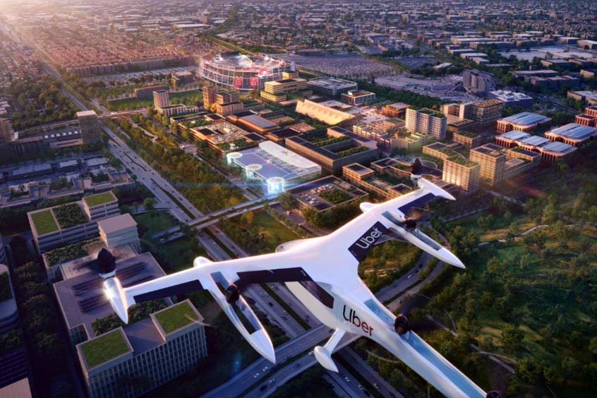
The Uber Elevate team aims to transform the world through aerial ride sharing at scale. Initial launch of its Uber Air service is planned for 2023 utilising eVTOL aircraft in Dallas and Los Angeles.
“Safety is a core value for Uber Elevate; we are implementing a safety management system and developing voluntary programmes that have yielded proven safety benefits for the aviation industry,” states John Illson, head of aviation safety with Uber Elevate.
Flight data monitoring (FDM) is the process of analysing and reviewing routinely recorded flight data. Airlines and operators that adopt flight data monitoring are better able to identify and eliminate potential safety hazards in flight operations. Since its introduction in the airline industry more than 20 years ago, FDM has been credited with reducing incident and accident rates. GE's FDM programme and industry experience working with large flight data programmes made this partnership a natural fit for Uber Elevate. “Uber Elevate's eVTOL ride sharing programme is another groundbreaking milestone in aviation history. The eVTOL aircraft create a new ecosystem for ride sharing, focusing on safety, minimising noise and energy efficiency,” says Bob W. Whetsell, director of safety programmes with GE Aviation's digital group.
Used by hundreds of operators worldwide, flight data monitoring is GE Aviation's premier service for helping operators understand and improve safety. Patented analytics software fuses meteorological information, navigation data and terrain mapping to identify safety events and measurements on thousands of flights every day.